
Real-Time Water Intelligence,
Protect Your Infrastructure.
WATER INTELLIGENCE /ˈwɑː.t̬ɚ ɪnˈtɛl.ɪ.dʒəns/ : the automated analysis of water data using interconnected smart sensors and predictive analytics to evaluate water availability, flood risks, and water levels affecting your critical infrastructure.
Divirod applies a modular design concept to build a real-time water intelligence platform around your own infrastructure. We elevate your current system to power flood forecasts and early warnings, snowpack and water availability, ground water monitoring, waterways management, coastal tidal changes, or landslides monitoring.
Why Divirod: The Observational Layer for Water
We know water risk is becoming more dynamic, more expensive, and more operationally important. Infrastructure owners, utilities, industrial operators, municipalities, investors, insurers, and public agencies need better real-time visibility to protect assets, respond earlier, and make better long-term decisions.
Divirod is building the observation layer for water, using real-time sensing and analytics to help customers understand what is actually happening across critical assets and environments. All translates into better operational intelligence.
MOST COMMON LIMITATIONS FOR WATER INTELLIGENCE.
Imagine you don’t have to deal with common and annoying problems that prevent you to focus on what really matters: protect your infrastructure. Imagine you knew before it is too late, or save trips to remote sites and have all the data you need, organized and easy to access.
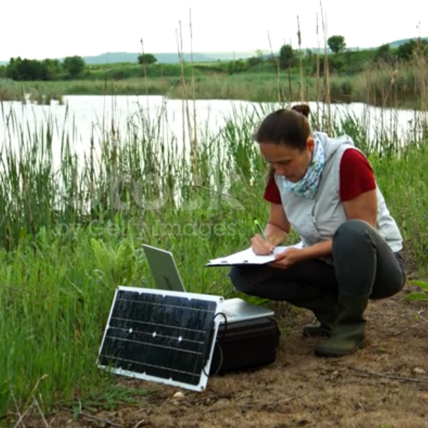
frequent field trips to download data?

datasets across multiple systems?
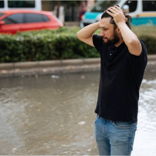
wished to know before it happens?

investment made doesn’t pay off?
Keep the system you have.
Add the water intelligence you need.
MODULAR WATER INTELLIGENCE
Build around your infrastructure
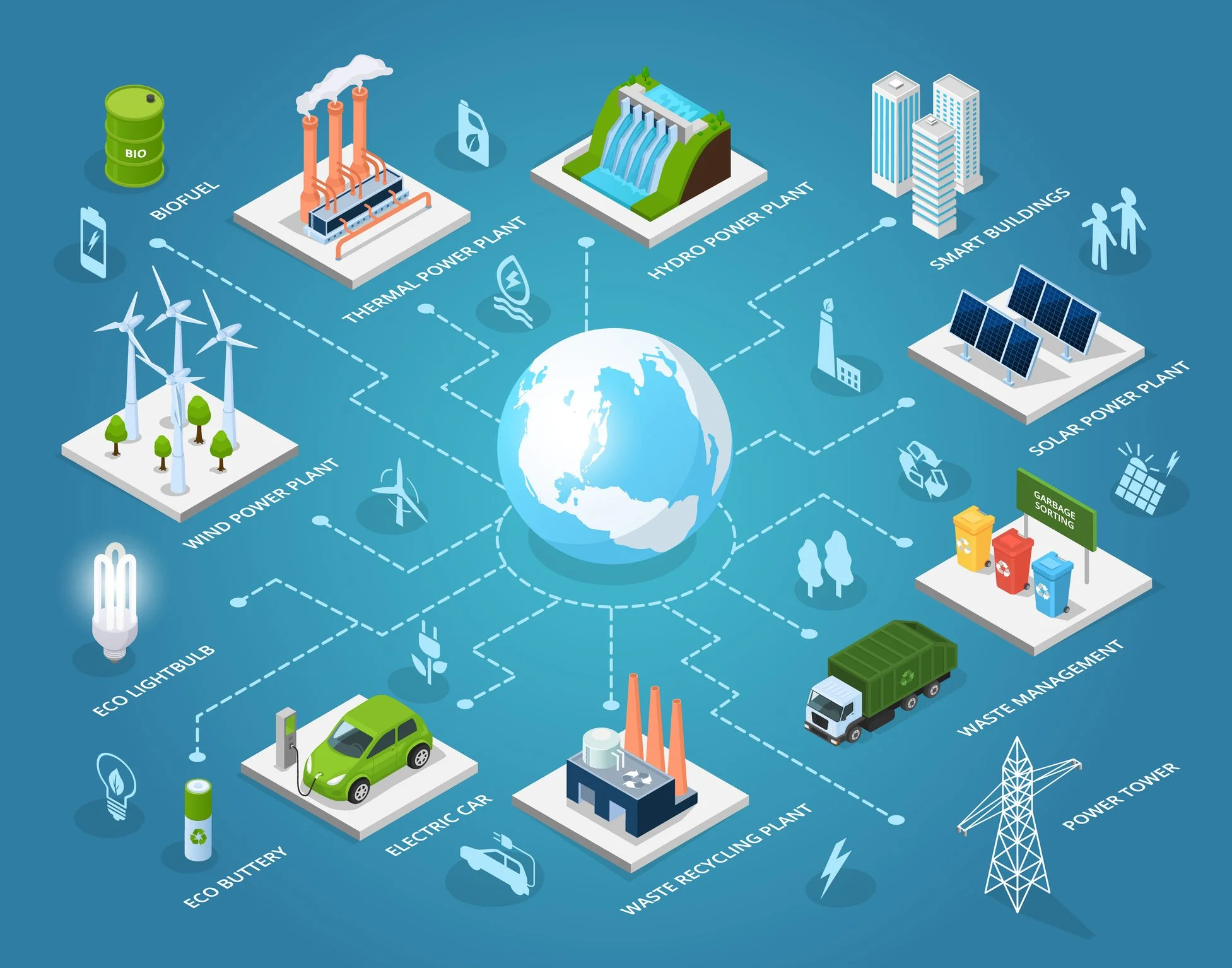
Like building a puzzle. Select the piece you need to see how Divirod connects sensors, datasets, infrastructure, and actionable water intelligence.
Discuss your solution →TRUSTED BY








“Our mission is to know everything about water, to eliminate water risk uncertainties and empower access to water information on a global scale.”

Join the Water Data Trend.
Adding more data points helps you and others stay ahead of water risks. Anonymized data sets from all over the world help understanding your local conditions.
Water does not have borders. Benefit from the massive information of global database to evaluate local water risk trends in your area.
Together we can produce water risk scoring to predict abnormal floods and droughts.